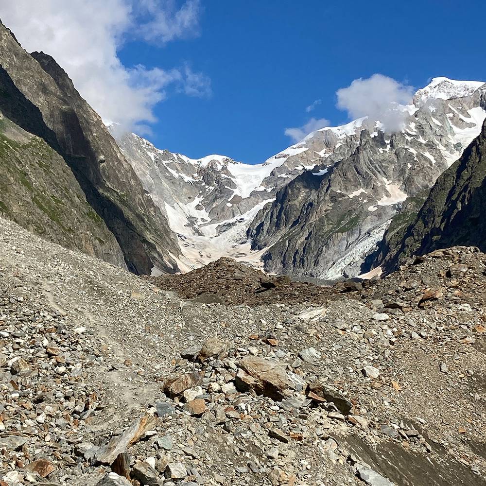
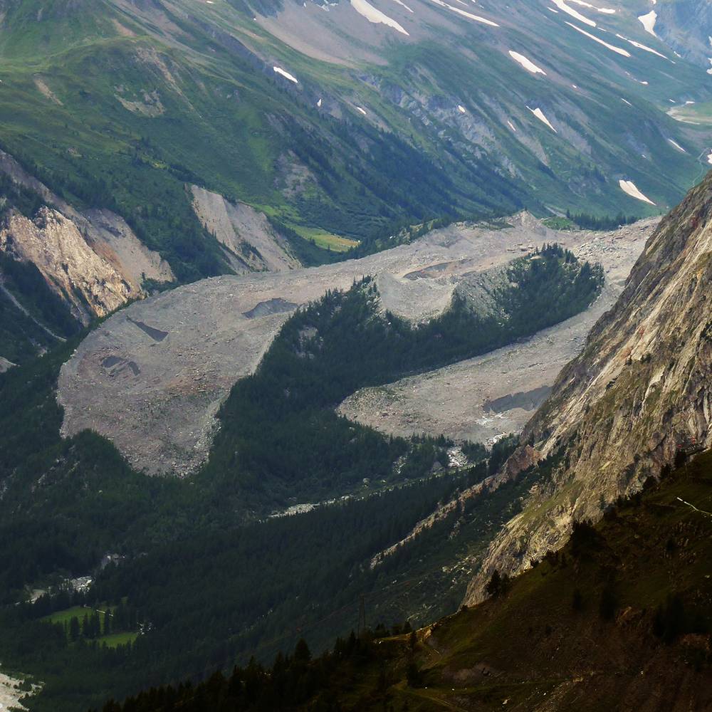
The Miage Glacier is situated on the southwest flank of the Mont Blanc massif, flowing from the Col de Bionnassay (3,892 m (12,769 ft) above sea level) in a generally southerly direction towards Val Veny. Its most northerly arm or tributary is the Glacier de Bionnassay Italien, which arises from a cirque between the south eastern side of the Aiguille de Bionnassay, the Col de Bionnassay and the Calotte des Aiguille Grises. This descends for 2.5 km below the Col Infranchissible then turns south-east to merge with other glaciers, thence continuing as the Glacier du Miage (Ghiacciaio del Miage).
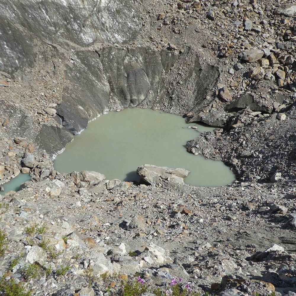
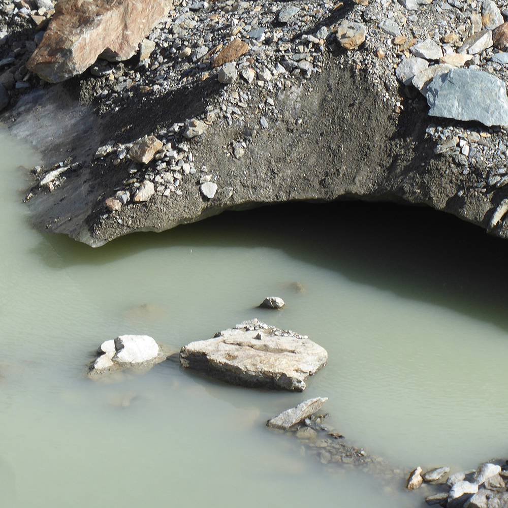
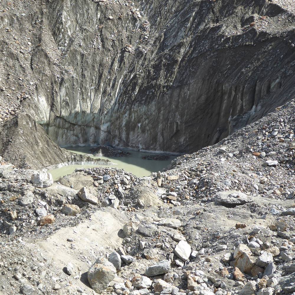
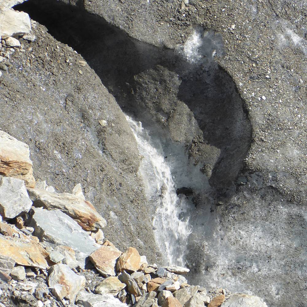
At around 10 km (6.2 mi) in length, the Miage Glacier is Italy's longest glacier and also the largest debris-covered glacier in Europe. Approximately 5 km² (1.9 sq mi) of its total area of ~11 km² (4.2 sq mi) is covered in debris originating primarily in rockfall from surrounding walls[3] and avalanching in accumulation areas of its four tributaries. Debris carried along within the glacier is also being exposed at increased rates due to accelerating thinning of the glacier tongue.
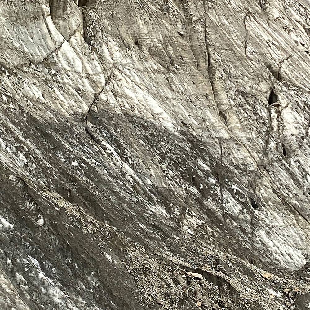
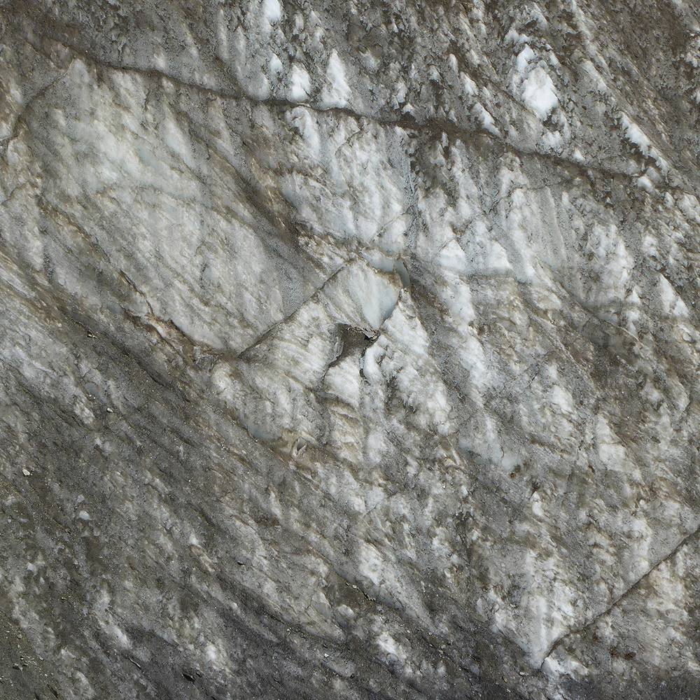
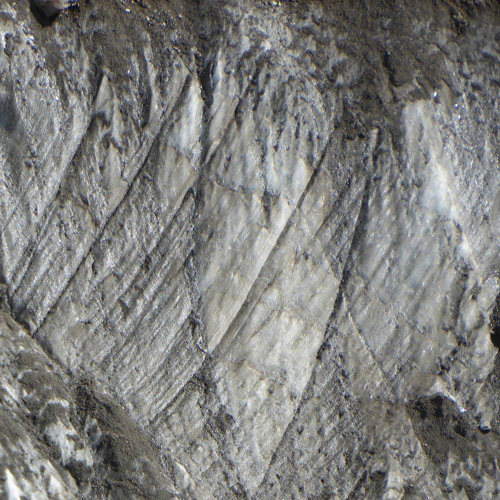
The number of sources of supraglacial debris as well as the unusual, mica schist-dominated lithology of the rock walls surrounding the glacier, makes for a varied debris lithology; debris cover becomes continuous at ~2,400 m (7,900 ft) above mean sea level (asl) and remains unbroken to the terminus. Patchy areas can occur, however, where crevasses or moulins occur. Debris thickness generally increases from a few centimetres at 2,400 m (7,900 ft) asl to over 1 metre (3 ft 3 in) at the terminus at ~1,775 m (5,823 ft) asl, although the spatial distribution of thicknesses is heterogeneous especially on parts of the northern terminal lobe.
◼︎ Wikipedia
◼︎ Glaciers of the Alps