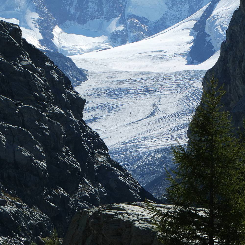
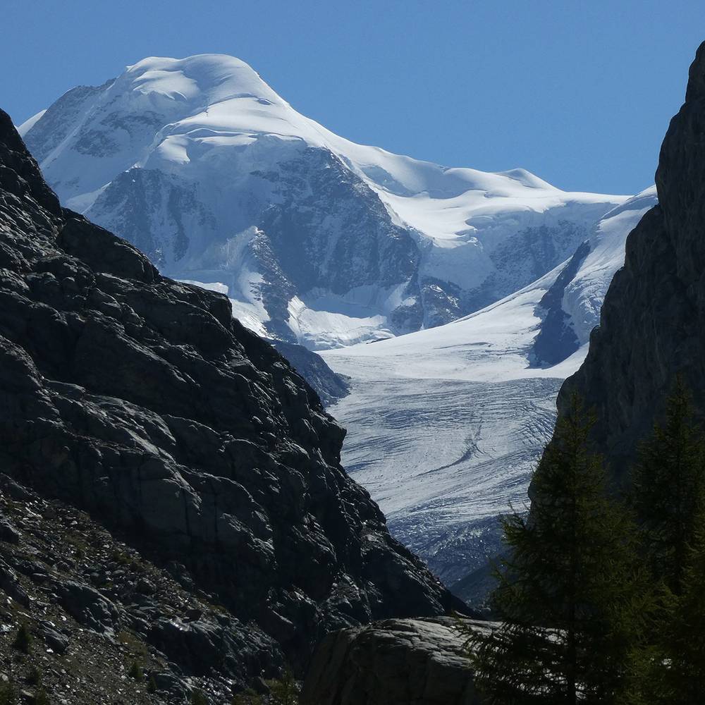
The Gorner Glacier (German: Gornergletscher) is a valley glacier found on the west side of the Monte Rosa massif close to Zermatt in the canton of Valais, Switzerland. It is about 12.4 km (7.7 mi) long (2014) and 1 to 1.5 km (0.62 to 0.93 mi) wide. The entire glacial year of the glacier related to Gorner Glacier is 83km² (32 sq mi) (1999), which makes it the second largest glacial system in the Alps after the Aletsch Glacier system; however it ranks only third in length behind the Aletsch and Fiescher Glacier, respectively.
An interesting feature of this glacier is the Gornersee, an ice marginal lake at the confluence area of the Gorner- and Grenzgletscher. This lake fills every year and drains in summer, usually as a Glacial lake outburst flood. This is one of few glacial lakes in the Alps exhibiting this kind of behaviour.
There are pie also several interesting surface features including crevasses and "table top" forms where large surface boulders have been left stranded above the glaciers surface. These tabular rocks are supported by ice that the boulder has sheltered from melting that has effected the more exposed surrounding ice.
Due to the immense information about the glacier, it is perfect for a glacier project.
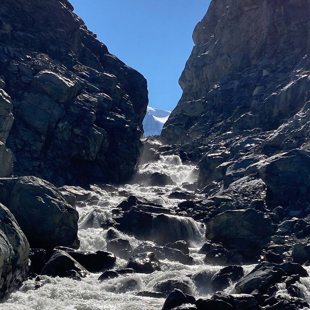
It is the source of the river Gornera, which flows down through Zermatt itself. However, most of its water is captured by a water catchment station of the Grande Dixence hydroelectric power plant. This water then ends up in the Lac des Dix, the main reservoir of Grande Dixence.
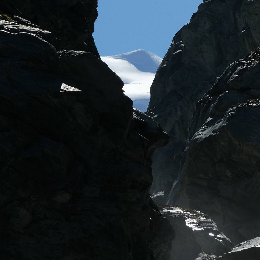
The glacier as well as the surrounding mountains can be seen from the Gornergrat (3,100 m or 10,200 ft), connected from Zermatt by the Gornergrat Railway.
◼︎ Wikipedia
◼︎ Glaciers of the Alps