The Brenva Glacier (French: Glacier de la Brenva, Italian: Ghiacciaio della Brenva) is a valley glacier, located on the southern side of the Mont Blanc massif. It is the second longest and eighth largest glacier in Italy, and descends down into Val Veny, close to Entrèves, near Courmayeur. Over the centuries it has experienced a number of major rock avalanches which have shaped the glacier and influenced its movement.
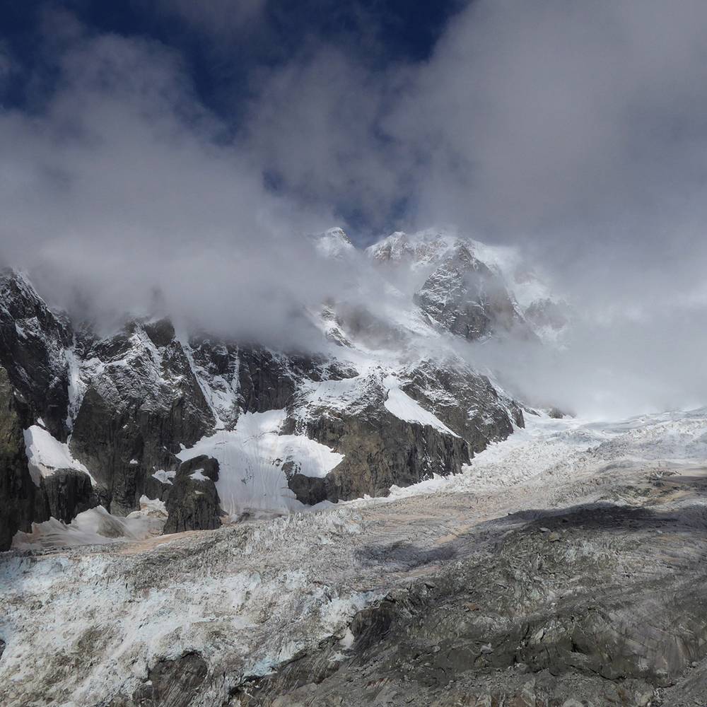
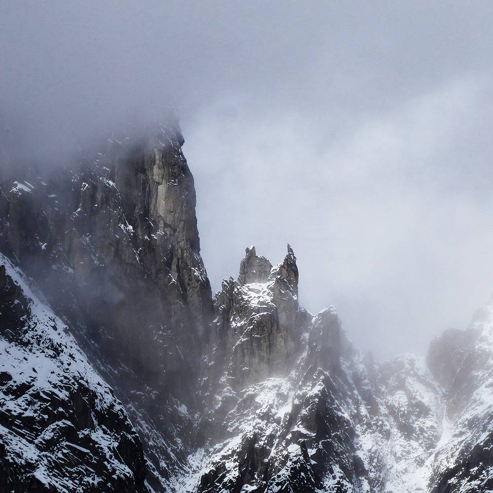
The upper accumulation zones of the Brenva Glacier are enclosed by the Aiguille Noire de Peuterey, the Aiguille Blanche de Peuterey, Mont Blanc de Courmayeur, Mont Blanc, Mont Maudit, the Brenva Arête, the Tour Ronde, and the Aiguille de la Brenva.
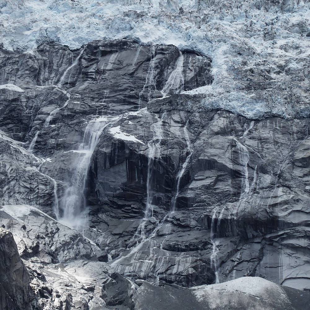
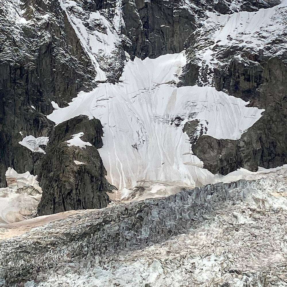
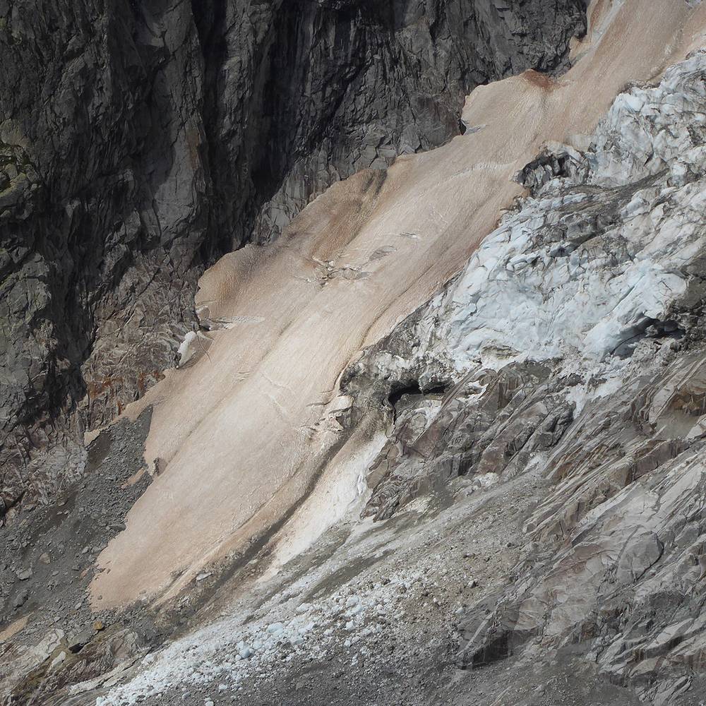
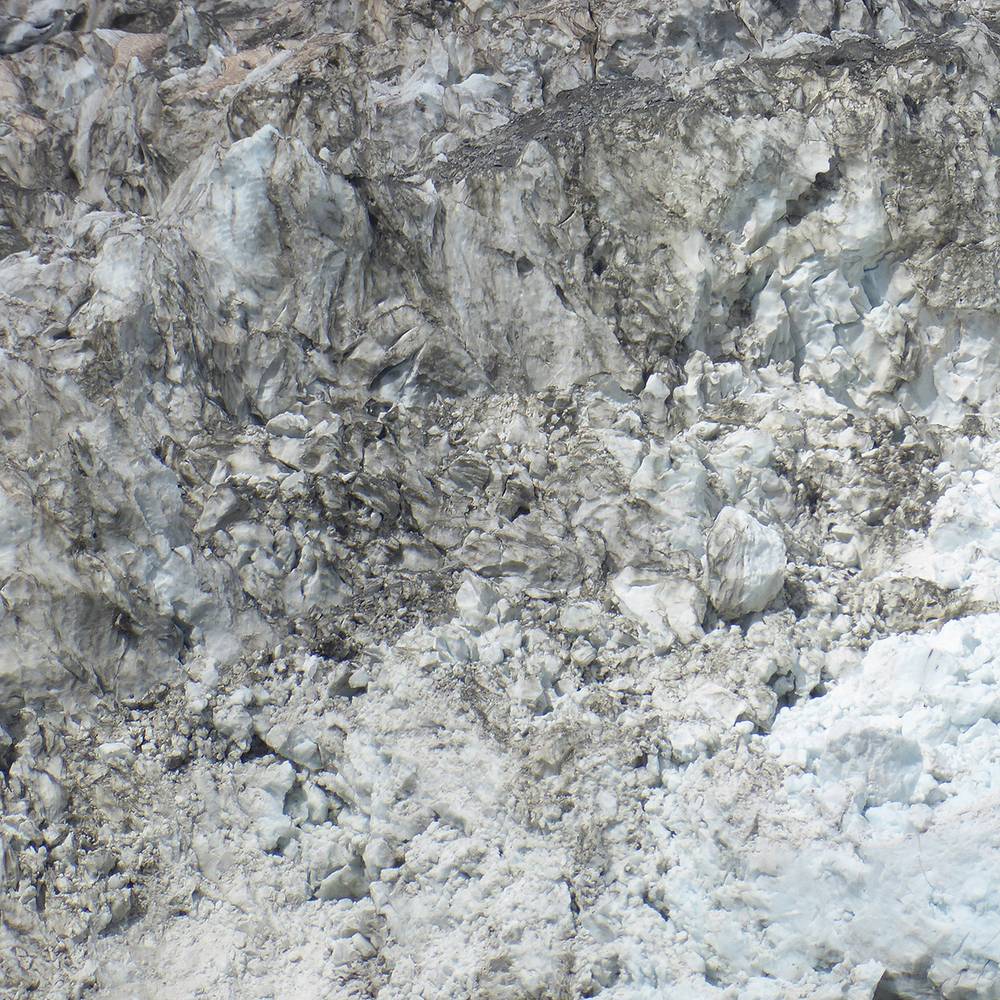
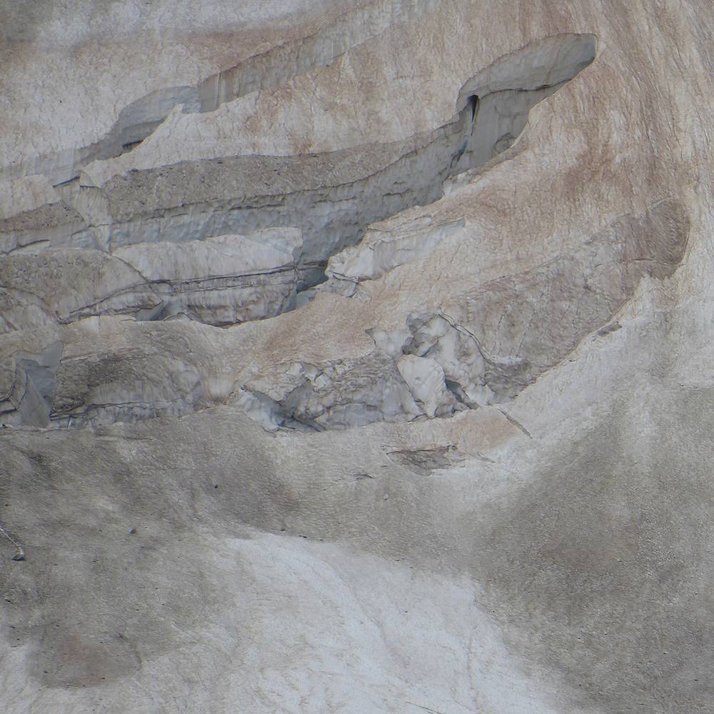
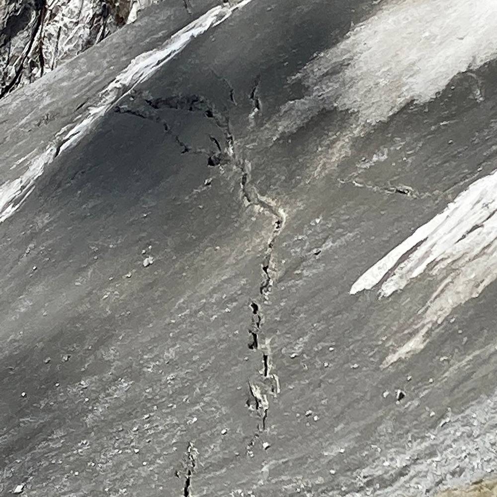
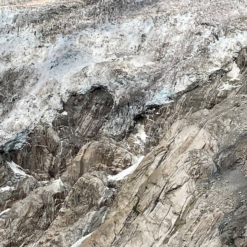
The Brenva Glacier is formed from three branches, and descends steeply in a south-easterly direction, passing through a narrow neck (known as the Pierre à Moulin) at 2,460 to 2,550 m above sea level, and then falls sharply as a serac field, before reforming as a broad rock-covered glacial tongue. Since 2004, the lower section below the serac field has become completely separated from the upper section, resulting in the active front of the glacier now being at 2,350 m – some 1,000 m higher than it was previously.
As at 1989, the Brenva Glacier had a maximum length of 7.64 km, and an area of 8.06 km², making it the eighth largest in Italy by area. Like most alpine glaciers, it has been retreating since that time, and is now approximately 6.7 km in length, but still remains the second longest. It has an area of approximately 7 km² and, in its upper region, the glacier has a recorded speed of flow of 180 m per year.
◼︎ Wikipedia