news
the image of the earth
projects
kilimanjaro
die tiefe
glaciers
stromboli
jallikattu
volcanos
sumatra
segantini
puja
maka wakan
menabe
mission
london - paris
rice
arles (van gogh)
rarámuri
pirosmani
europe
songlines
terroir
shoa
sinai
icefire
go west
america
the concept
the line
the earth art works
the excavating sites
the song
the edition
the work
the box
the small box
the plates
die karten
die linie
amazonas
kailas
africa
aotearoa
london
amberg yellow
wine
salt
l'ocre
elephants in snow
todesstreifen
atlantis
dresden
værøy
siena brown
the alpes
the berlin wall
99 photographs
installations
exhibitions
books
editions
texts
videos
galleries
links
vita
contact
search
deutsch
english
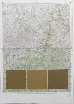
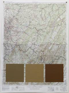
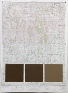
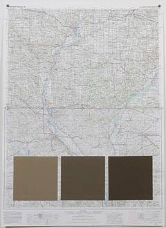
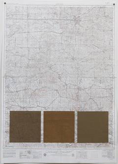
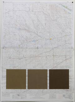
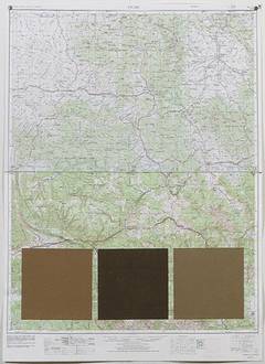
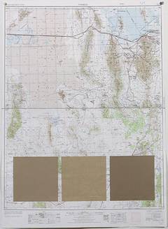
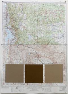
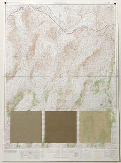
go west - the north america line - the work
78 - 77 - 76 °W - Appalachian Mountains - Harrisburg - Pennsylvania
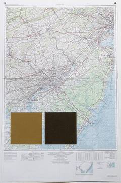
76 - 75 °W - Palmyra - Pennsylvania - New Jersey
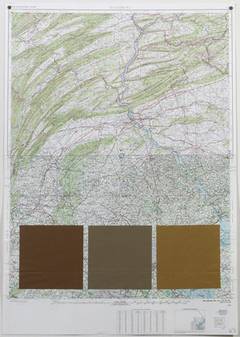
82 - 81 - 80 °W - Muskingum County - Monongahela River - Ohio - Pennsylvania
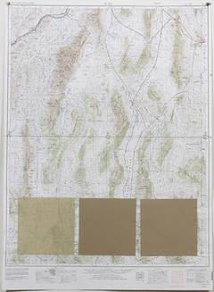
80 - 79 - 78 °W - Appalachian Mountains - Pittsburgh - Pennsylvania
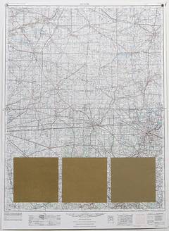
86 - 85 - 84 °W - Wayne County - Clark County - Indiana - Ohio
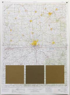
84 - 83 - 82 °W - Columbus - Ohio
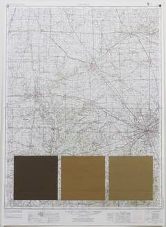
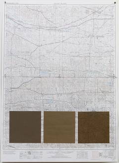
90 - 89 - 88° W - Corn Fields - Cass County - Macon County - Champaign County - Illinois
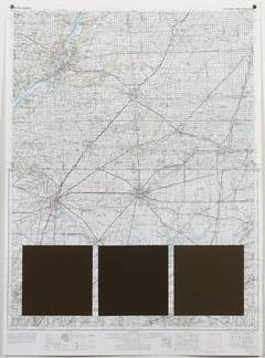
88 - 87 - 86 °W - Champaign County - Indianapolis - Illinois - Indiana
94 - 93 - 92° W - Davis County - Knox County - Missouri
92 - 91 - 90° W - Hannibal - Beardstown - Missouri - Illinois
98 - 97 - 96° W - Jewell County - State Line Road - Pawnee County - Kansas
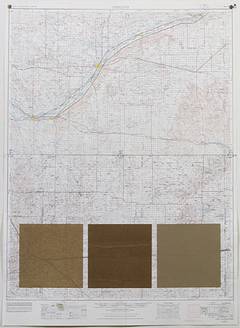
96 - 95 - 94° W - Missouri River - Kansas - Missouri
102 - 101 - 100° W - Cheyenne County - Sappa Creek Valley - Kansas
100 - 99 - 98° W - Farmland - Republican River - Kansas
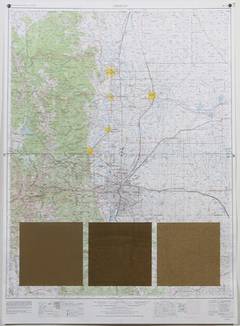
106 - 105 - 104° W - Denver - Colorado
104 - 103 - 102° W - Prairies - Adams County - Washington County - Cheyenne County - Colorado - Kansas
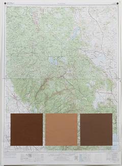
110 - 109 - 108° W - Uintah and Ouray Indian Reservation - Rio Blanco County - Utah - Colorado
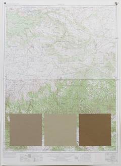
108 - 107 - 106° W - Rio Blanco County - Continental Divide - Rocky Mountains - Colorado
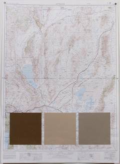
114 - 113 - 112° W - Great Salt Lake Desert - Utah
112 - 111 - 110° W - Utah Lake Mountains - Uintah and Ouray Indian Reservation - Utah
118 - 117 - 116° W - Antelope Valley - Shoshone Range - Diamond Valley - Nevada
116 - 115 - 114° W - Diamond Valley - Butte Valley - Deep Creek Valley - Nevada - Utah
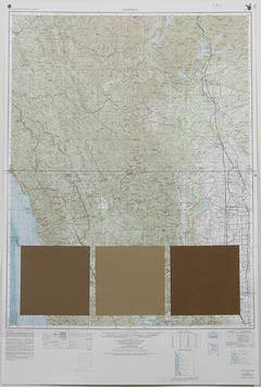
122 - 121 - 120° W - Tehama County - Feather River- Fort Sage Mountains - California
120 - 119 - 118° W - Pyramid Lake - Carson Sink - Nevada
124 - 123 - 122° W - Pacific Coast - Mendocino National Forest - California